Toba City has four inhabited islands, “Toshijima,” “Sugashima,” “Sakatejima,” and “Kamishima,” and regular boats come and go from Toba marine terminal. For hikers in pursuit of spectacular scenery, hiking on these island is a truly wonderful experience.
Our goal is to get to Toshi Island, the largest of the inhabited islands in Toba, with a population of about 1,850. To get to the island, reach the Toba marine terminal which is a 6-minute walk from Toba Station. Now, let’s go!
About Toshi island
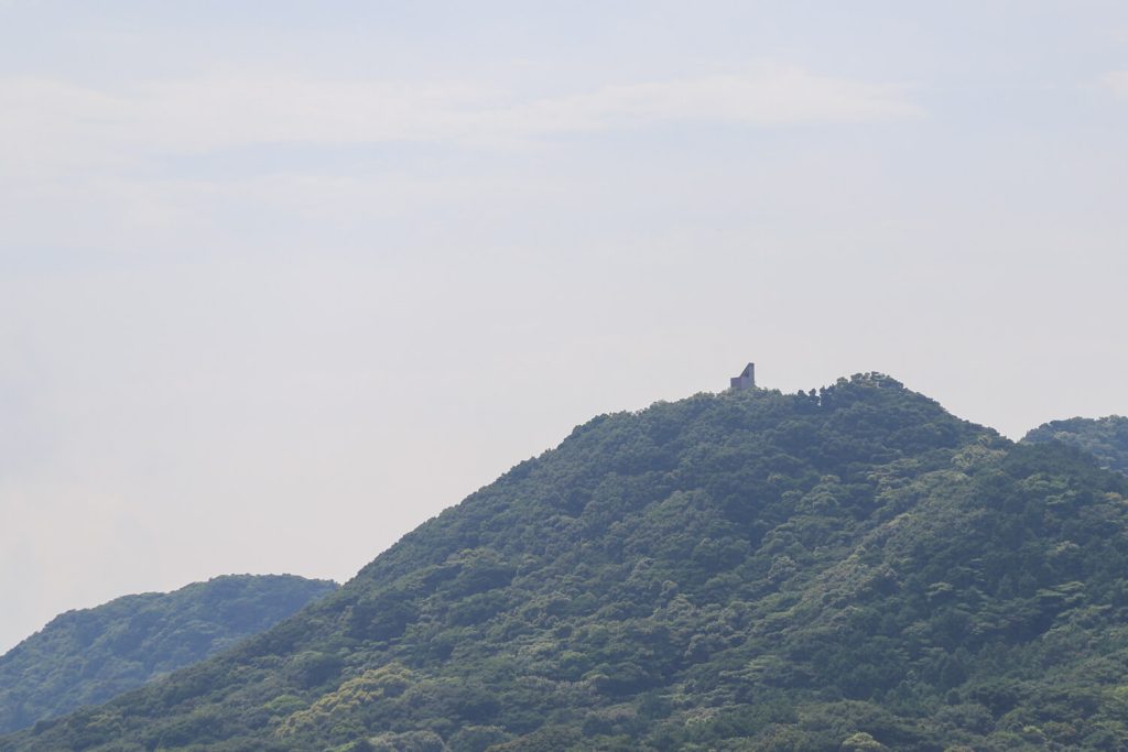
Toshi Island is located about 2.5 kilometres northeast of Toba Harbour and is the largest of the four islands that form part of Toba City. There are three villages, Toshi, Wagu and Momotori. The island has a total area of 6.98 square kilometres and a circumference of 26.3 kilometres. 80% of the island is covered by natural forests, and the original Yamatotachibana tree (Citrus tachibana), the city tree, grows in Momotori, and is designated a natural monument of the prefecture.
Toba city website, ToshiJima: https://www.city.toba.mie.jp/soshiki/kikaku_keiei/gyomu/seisaku_keikaku/rito_shinko/2019.html
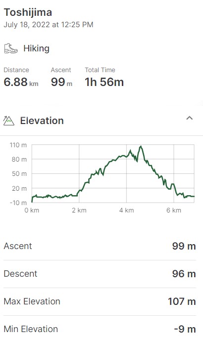
| Alt. max 101m | Access. train・bus・boat | 6.8km trail |
 | ||
| Car park (paid parking) | Duration 2h00 | Trail with washrooms |
 |  | |
| Beginner level Yes | Recommended season fall・winter |
| | | |||||
| Alt. max 101m | Access. train・bus・boat | 6.8km trail | Car park (paid parking) | Duration 2h00 | Trail with wash. | Beg. level Yes | Rec. season fall・winter |
※Gaia GPS is a hiking app which covers the latest route status and other climbing information with extensive coverage of trails all over Japan.
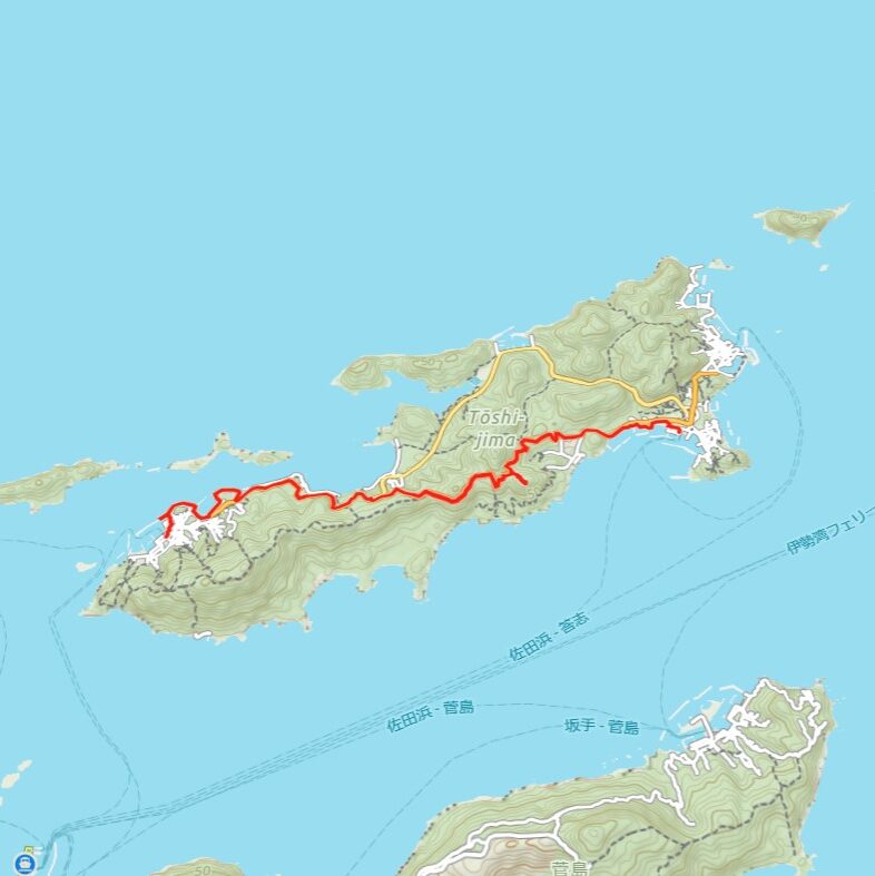
Toshi island from “Momotori” to “Wagu”.
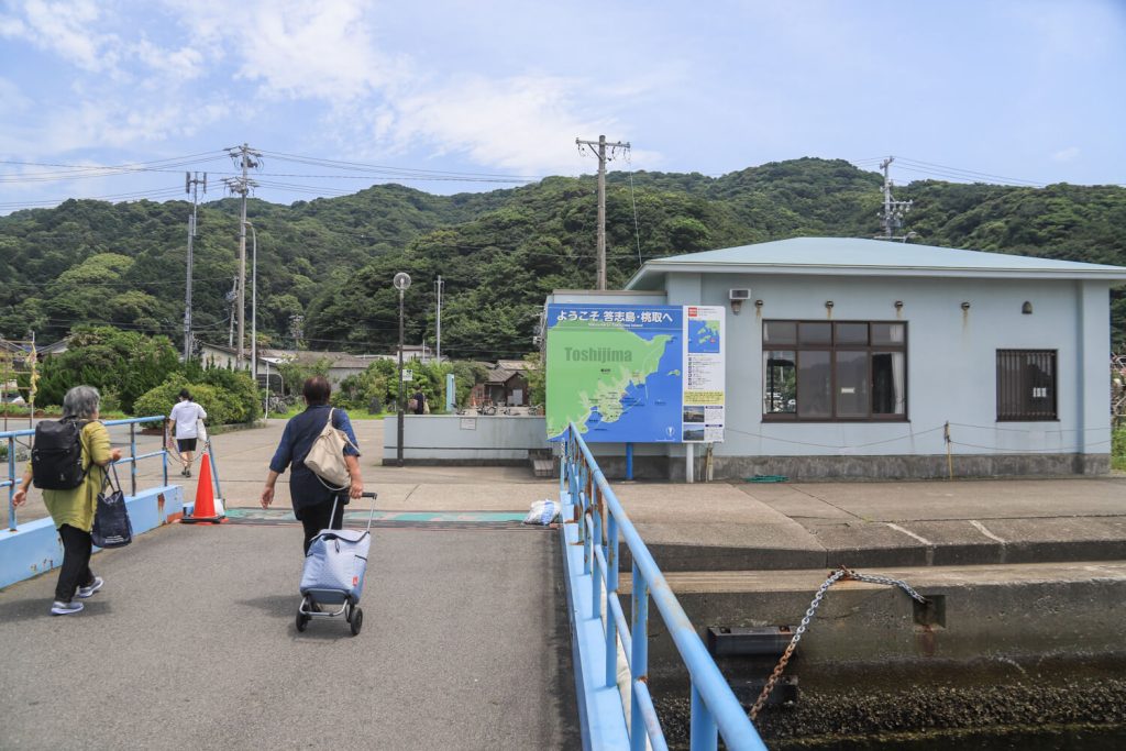
When you arrive at Toba Marine Terminal, buy a ticket to Momotori, Toshi island.
If you come by car, there is a car park near Toba Marine Terminal. We also recommend the car park near JR Toba station as it is reasonably priced.
 見守りのカモメ
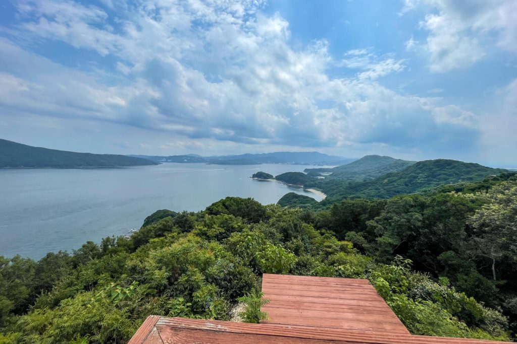
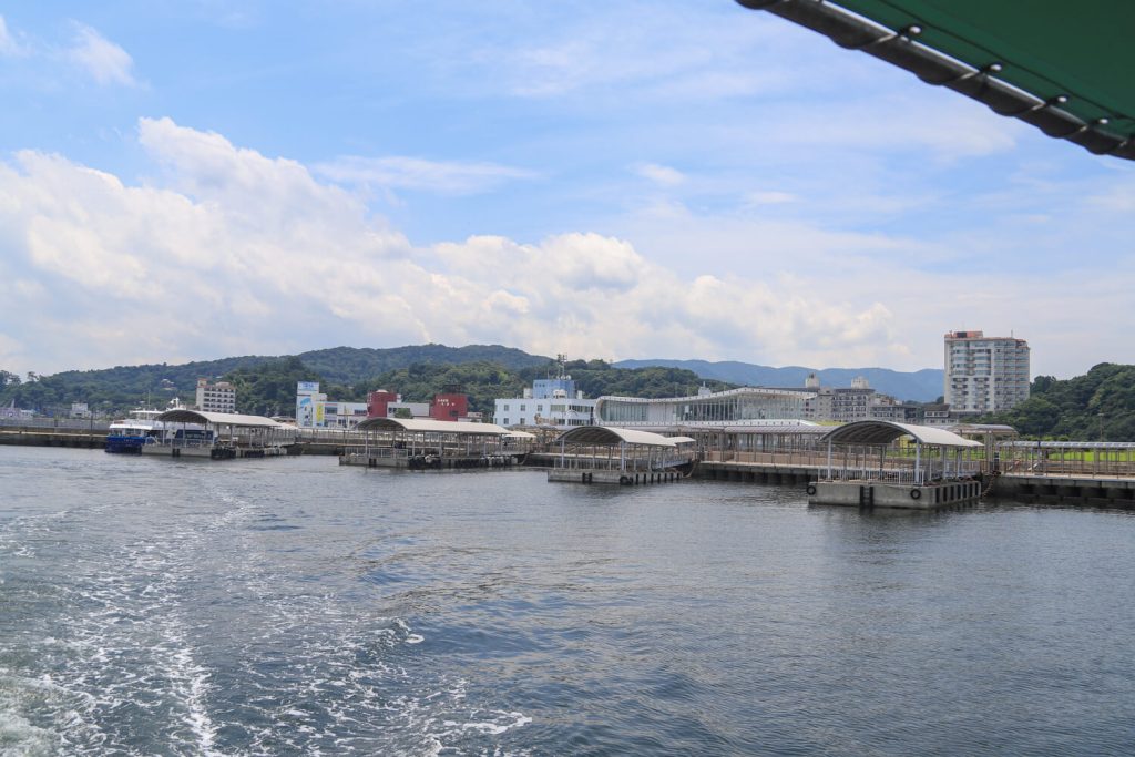
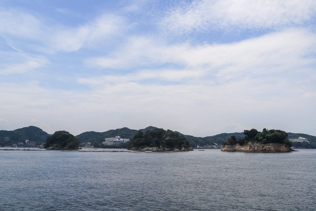
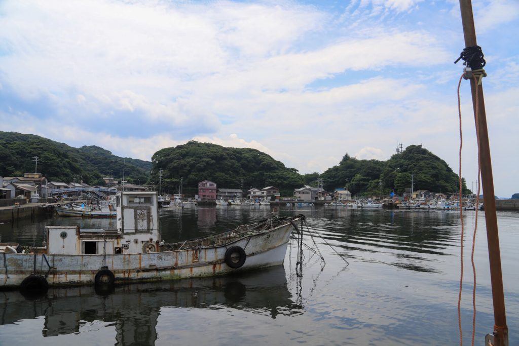
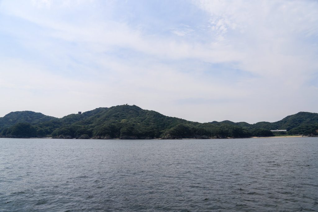
Point of interest ① : Scenery of Toba from the deck of a ferry
 ガイドのタコ
The spectacular view from the ship is a must-see for sure!
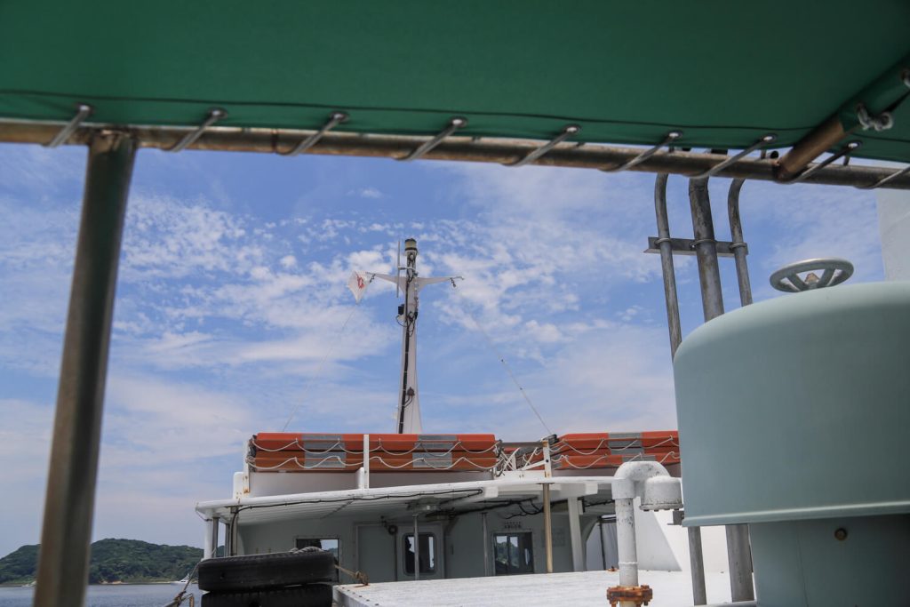
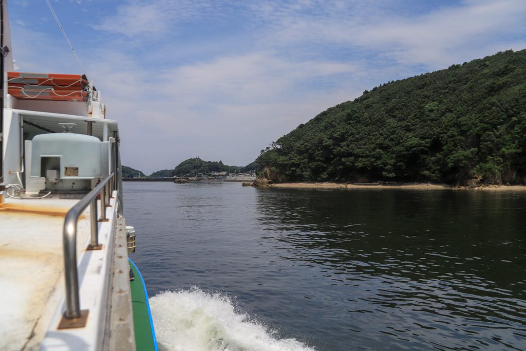
The crossing from Toba Marine Terminal to Momotori, Toshi Island takes about 12 minutes. Once you get on the boat, don’t hesitate to go up to the deck. Feel the sea breeze on the boat as it cuts through the waves and moves briskly forward, and enjoy the sea of Toba to the fullest.。
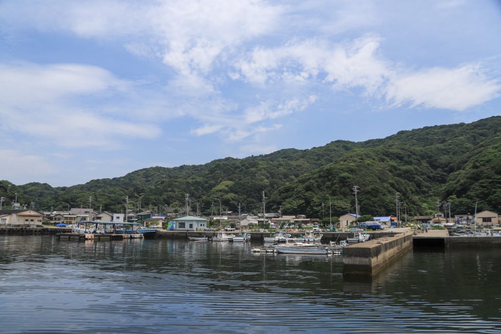
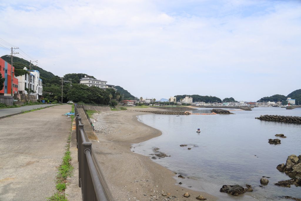
Point of interest ② : A fisherman’s town scenery
 見守りのカモメ
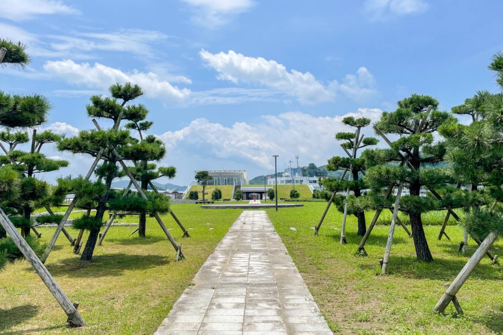
There are lavatories and vending machines at the Momotori Marine Terminal.
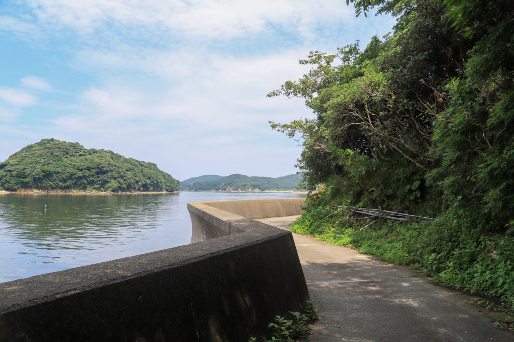
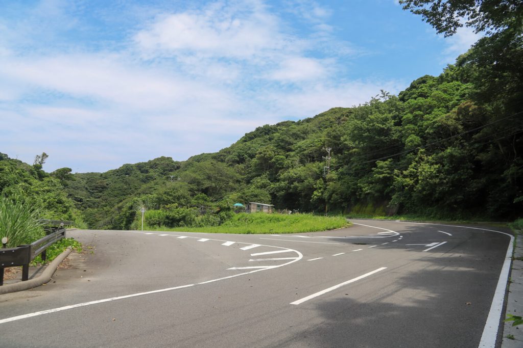
Now, this is where the hike really begins. After stretching your body, check the map of the island and walk along Mie Prefectural Road No. 759 Toshi-Momotori, commonly known as “Toshi Island Skyline” along the sea.
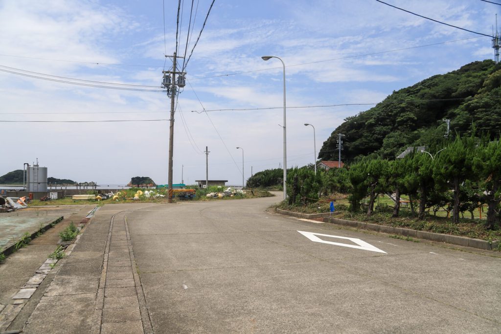
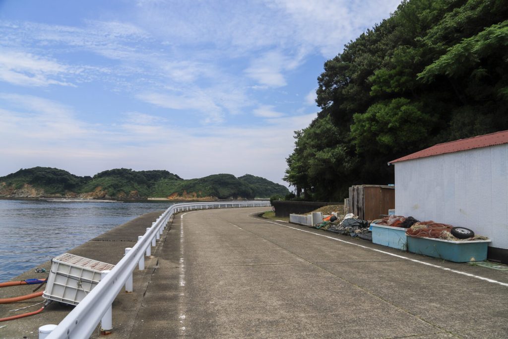
Continue straight ahead with the sea on your left. This circular road goes all the way to Wagu.
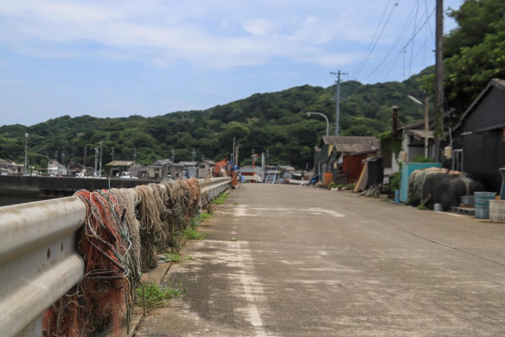
Toshi Island is one of the best fishing towns in Iseshima. The Momotori area’s specialties include Momokomachi brand oysters and wakame seaweed. Just walking along the streets of Toshi Island, you can get a feel for the atmosphere of the island’s fishing industry.
Point of interest ② has been reached. The daily lives of the fishermen and divers are unfolding before our very eyes, enjoy the scenery .
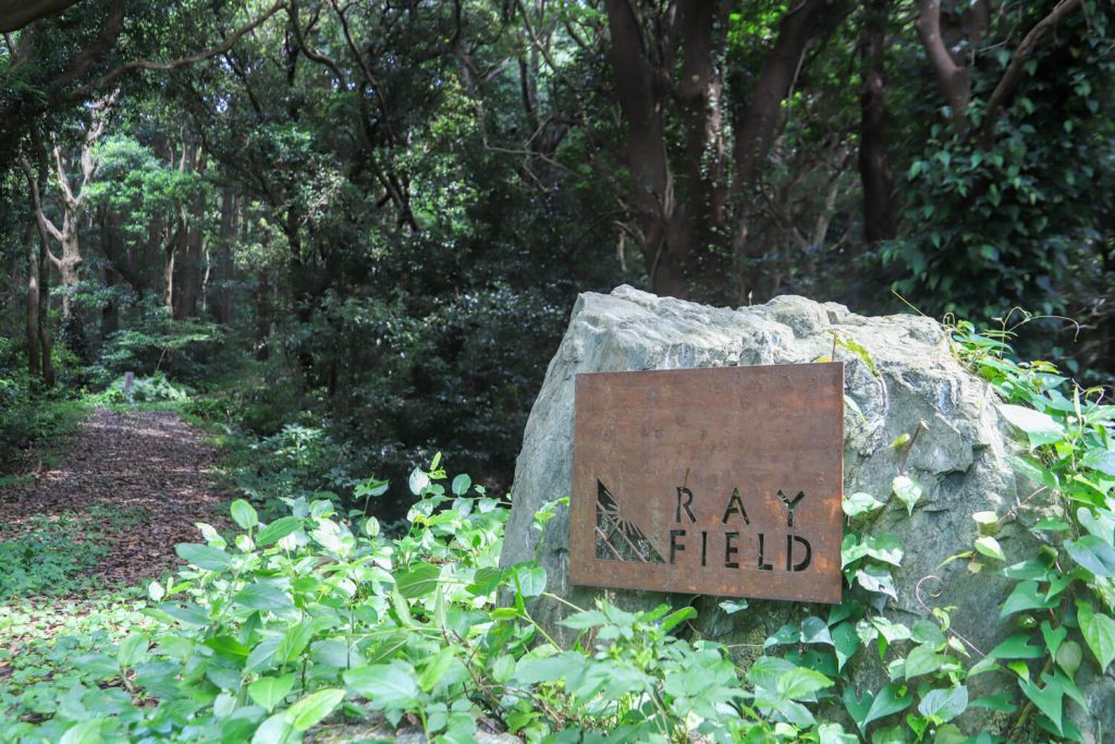
Point of interest ③ : Toshi island Ray field
moment, we are saying goodbye to the sea.
 ガイドのタコ
If you’re doing a day trip, it’s important to take into
account your scheduled departure time.
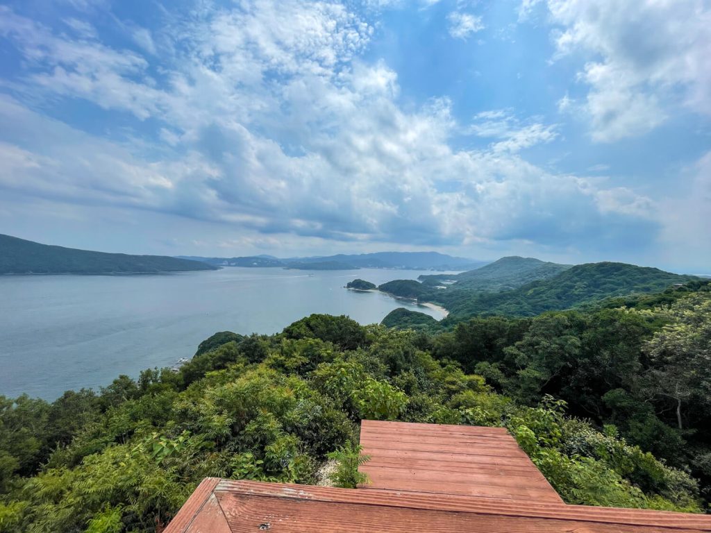
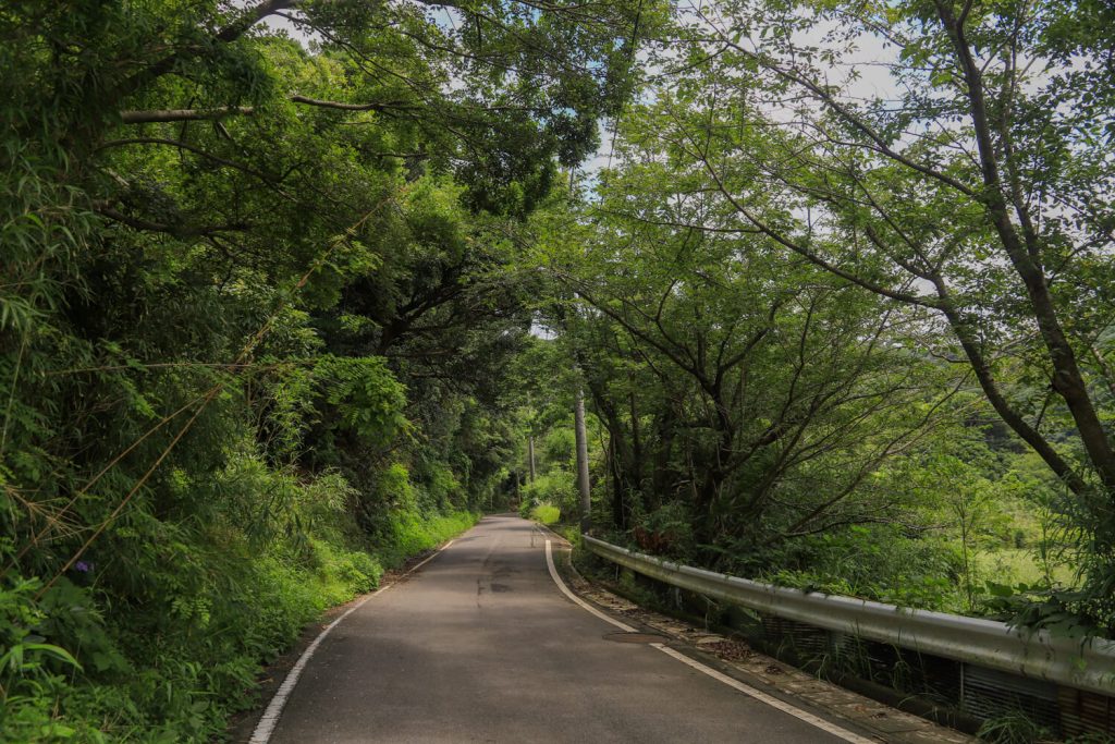
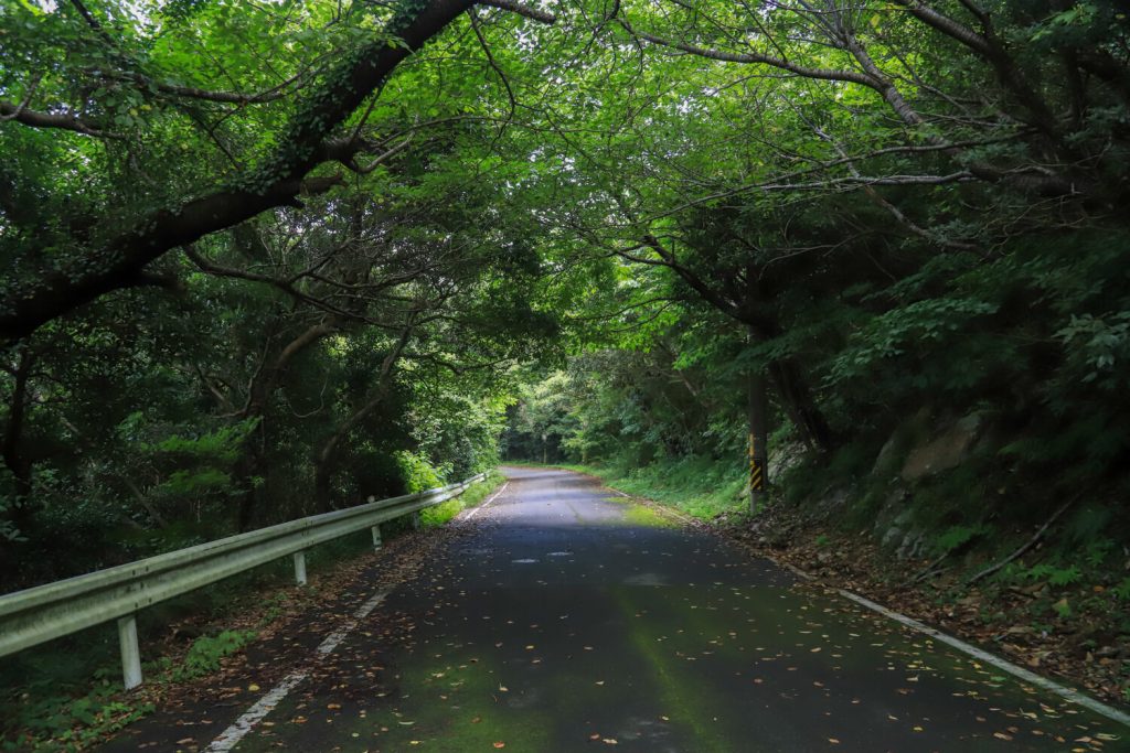
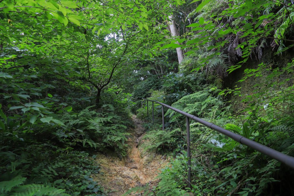
The road along the sea gradually becomes less busy and begins to climb into the mountains. Please drink plenty of water and keep your spirits up.
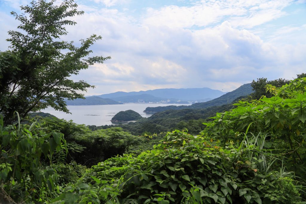
The sea view we have been enjoying so far is Ise Bay. And now, the sea you will see on the other side is the Pacific Ocean. The best part of hiking along Toshi Island Skyline is that you can enjoy both Ise Bay and the Pacific Ocean.
 見守りのカモメ
Depending on the time of year, the grass and trees may be
overgrown. Make sure to dress well to protect your skin from
getting a rash.
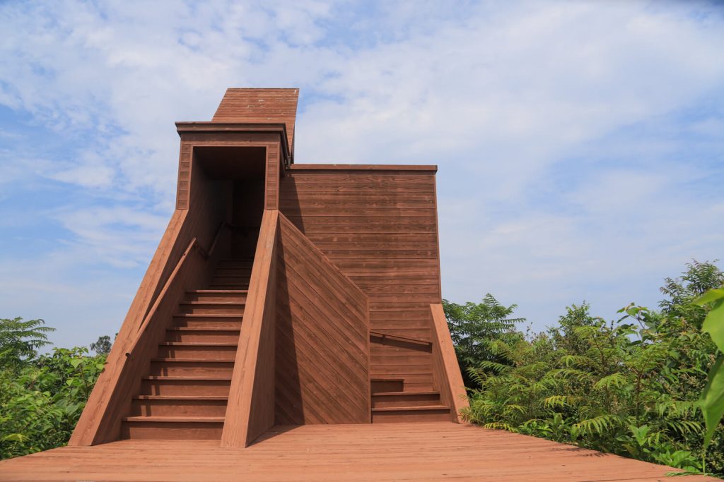
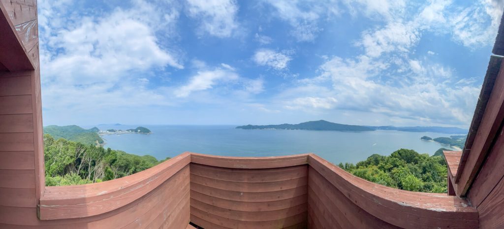
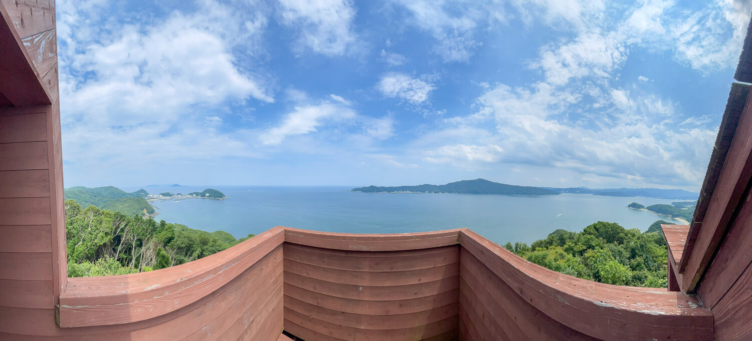
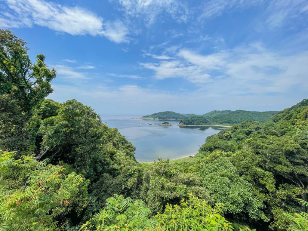
We have finally arrived at point of interest ③ “Toshijima RAY FIELD”! After a 4.5 km journey from the starting point, the Momotori ferry terminal, we have a great sense of accomplishment.
From 170 meters, this is a spectacular view spot of Toshi Island where you can see the islands floating in the sea below.
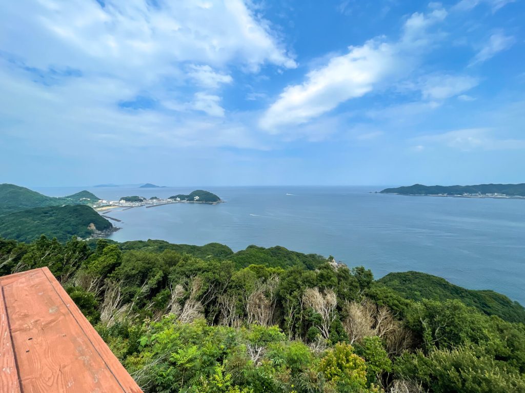
Kamishima and in front of us is Sugashima.
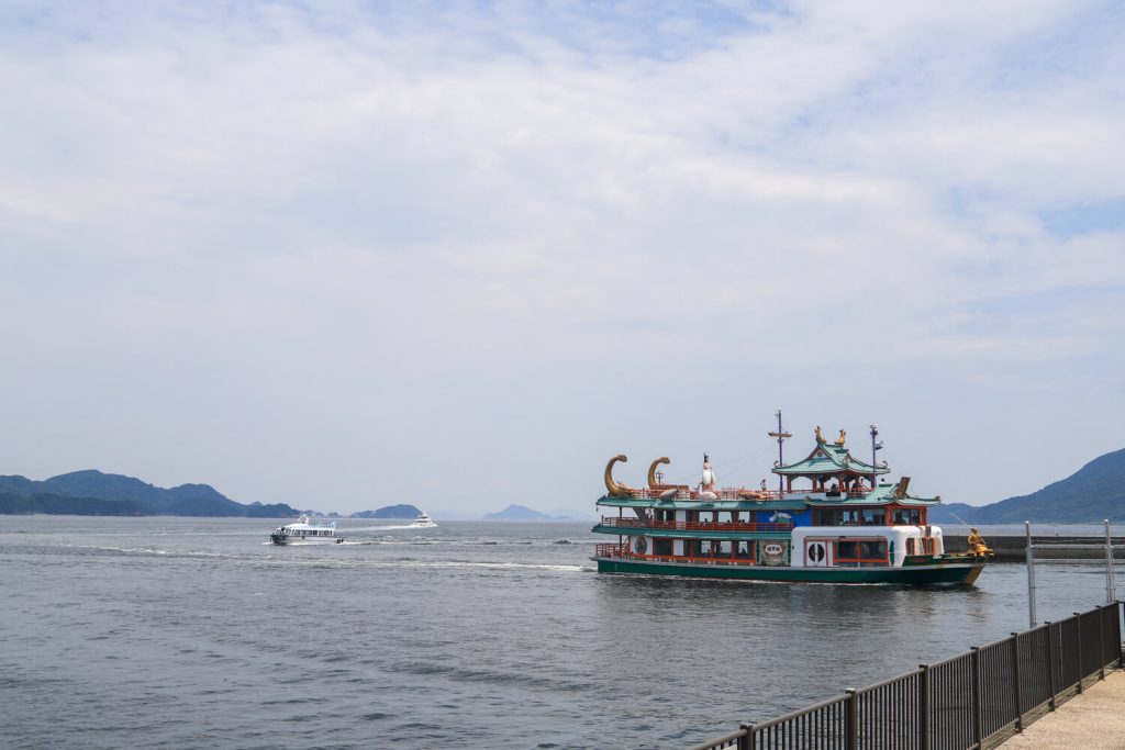
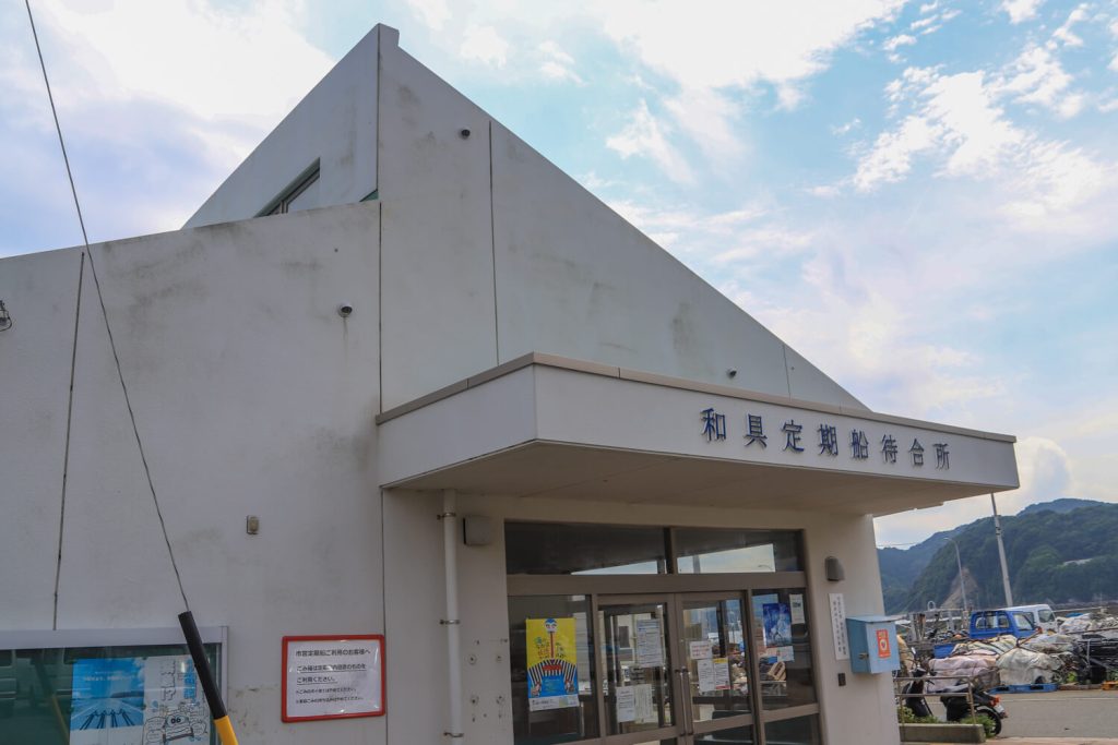
ガイドのタコIt’s time for us to go to Wagu !
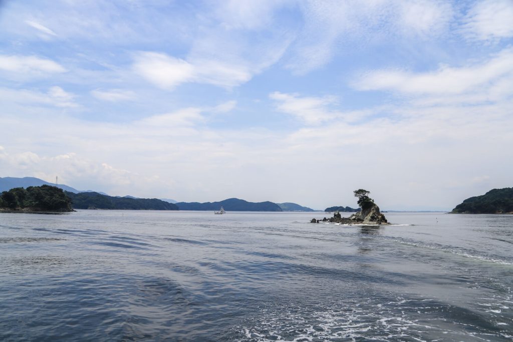
Boat trip again! Let’s catch the ferry from Wagu.
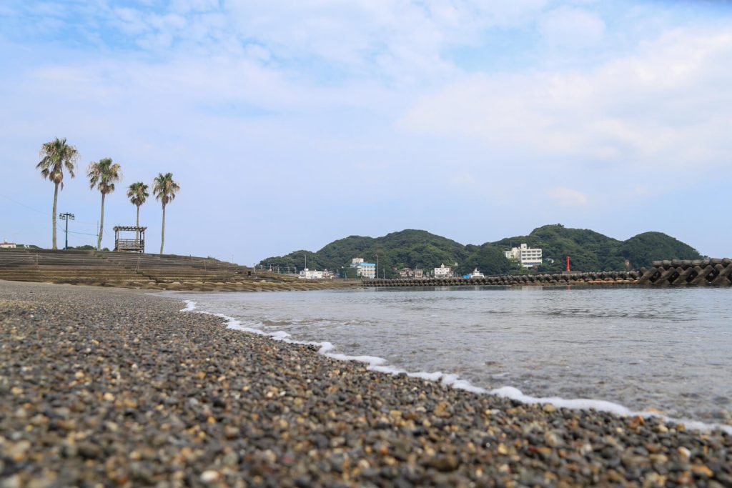
After about 1.5 km almost downhill from RAYFIELD, you will reach “Sunshine Beach” in Wagu.
Island skyline where we walked.
As we are leaving from a different terminal, you will enjoy a different view during your return journey.
Q&A
 Hikerガイドのタコ
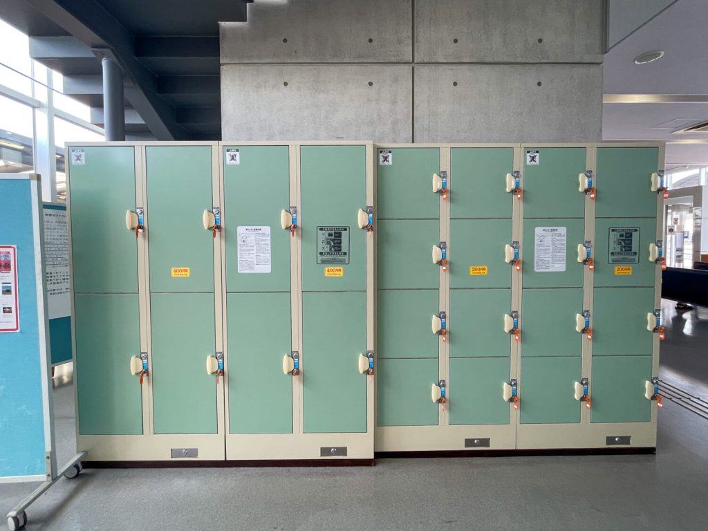
 悩めるHiker見守りのカモメ